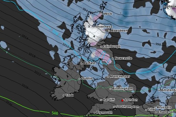
A band of wet and windy weather is pushing northeastwards across the UK today, bringing heavy rain at times before drier conditions gradually return to parts of the west later in the afternoon.
According to forecasters, Northern Ireland, Wales, and southwestern England will see an improvement by late afternoon, with showers easing and some brighter spells developing. However, it will remain blustery along coastal areas, where gusts may reach strong levels.
Temperatures are expected to range between 9°C and 15°C, near the seasonal norm for mid-October.
Tonight: Rain Clears but Showers Return
Through tonight, the main band of rain will move away northeastwards, leaving clearer skies for many central and northern regions.
However, a new wave of heavy showers will sweep across Northern Ireland, Wales, and southern England, leading to a wet and unsettled night in those areas. Elsewhere, conditions should turn drier with occasional clear spells.
Monday: Wet in the South, Drier in the North
Tomorrow will bring a split in conditions across the country. The southern half of the UK will see scattered showers and longer spells of rain, while northern England and Scotland are likely to remain largely dry with occasional sunshine.
It will stay windy in southern regions, particularly near exposed coasts.
Tuesday and Beyond: Low Pressure in Control
Low pressure continues to dominate the UK’s weather pattern into Tuesday, bringing a mix of sunshine and showers for many areas. Central and southern England will experience gusty winds and occasional heavy bursts of rain, though temperatures should remain close to average for late October.
Looking further ahead, the unsettled theme continues. Forecast models suggest alternating periods of dry weather and widespread rainfall, with a risk of strong winds midweek.
Meteorologists are also monitoring the potential arrival of a deep Atlantic low-pressure system during the middle of next week, which could bring significant rainfall and gusty winds to parts of the UK.
Yesterday’s Temperatures (Saturday, 18th October 2025)
Highest temperatures:
- Eglinton / Londonderry – 16°C
- London City Airport – 16°C
- Southend-on-Sea – 16°C
- Lydd Airport – 15°C
- Farnborough – 15°C
- London Heathrow – 15°C
- Guernsey Airport – 15°C
- Jersey Airport – 15°C
- Shoreham Airport – 15°C
- Belfast Harbour – 15°C
Lowest temperatures:
- Inverness / Dalcross – 0°C
- Tain Range – 0°C
- Kinloss – 1°C
- Lossiemouth – 2°C
- Edinburgh Airport – 6°C
- Aberdeen / Dyce – 6°C
- Kirkwall Airport – 6°C
- Wick – 7°C
Outlook
The week ahead looks changeable but seasonally mild, with alternating spells of sunshine, showers, and occasional heavy rain. While no widespread cold is expected yet, windy spells and localized flooding could feature as low-pressure systems continue to dominate the UK weather pattern.